Geospatial Queries
A major peer-to-peer taxicab firm hired our team to develop and run multiple spatial queries on their large database, which contained geographic and real-time location data of their customers. Unlike regular data, spatial data is very tied to the physical space—the data represents a very specific location on Earth. Spatial data is necessarily multi-dimensional and is represented by complex geometrical shapes, which in turn necessitates the use of points, lines, and polygons in our spatial queries. Our client requested that we use SparkSQL, Apache Spark’s big data software module, to extract data from their large, unstructured database that they could then use for day-to- day and long-term decisions. SparkSQL allows for seamless integration of Structured Query Language (SQL) queries with Spark programs, and is usable with multiple high-level programming languages, including Java, Scala, and Python. We chose to use Scala in our implementation.
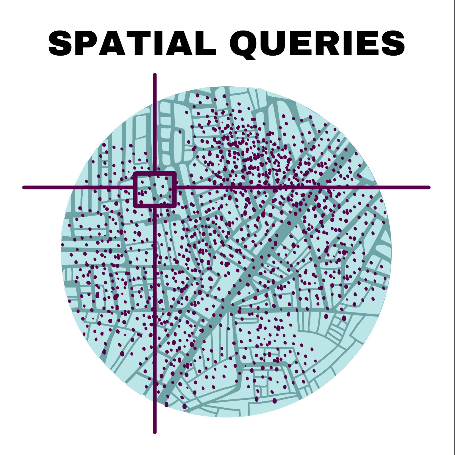
Our product was developed in two phases. In both phases, a rectangle R represents a physical geographic boundary in real-life, and a point P represents a customer who requests the use of a taxicab using the firm’s app. In the first phase, we designed and implemented functions ‘ST_Contains’ and ‘ST_Within’ in SparkSQL and used them to run four spatial queries. In the second phase, we performed hotzone analysis, where we determine the number of points located in each rectangle to discern the hottest geographic zones, and hotcell analysis, where we apply spatial statistics in the form of the Getis-Ord calculation to spatio-temporal big data to identify statistically significant geographic hotspots.
We used ‘ST_Contains’ to perform two spatial queries: Range Query (given a query rectangle R and a set of points P, find all points within R) and Range Join Query (given a set of rectangles R and a set of points P, find all (point, rectangle) pairs such that the point is within the rectangle). We used ‘ST_Within’ to perform two spatial queries: Distance Query (given a fixed-point location P and distance D, find all points that lie within a distance D from point P) and Distance Join Query (given two sets of points \(P_1\) and \(P_2\), and a distance D, find all \((p_1, p_2)\) pairs such that \(p_1\) is within a distance D from \(p_2\), \(p_1\) belongs to \(P_1\), and \(p_2\) belongs to \(P_2\)).
The hotzone analysis used a rectangle dataset and a point dataset. For each rectangle, the number of points located within the rectangle will be obtained. The more points a rectangle contains, the hotter (and more profitable) it will be. The task will need to perform a range join on the two datasets. The input point data can be any small subset of NYC taxi dataset, which contains the pickup points of trips. The output is all zones with their respective trip counts, sorted in ascending order.
The hotcell analysis identifies the 50 most significant hotspots in a given geographic envelope using the Getis-Ord \(G_i^*\) statistic. The statistic is defined as follows:
$$G_i^* = \frac{\displaystyle\sum_{j=1}^{n} w_{i,j}x_j - \bar{X}\displaystyle\sum_{j=1}^{n} w_{i,j}}{S\sqrt{\frac{n\displaystyle\sum_{j=1}^{n}w_{i,j}^{2}-(\displaystyle\sum_{j=1}^{n}w_{i,j})^{2}}{n-1}}}$$where \(x_j\) is the attribute value for cell \(j\), \(w_{i,j}\) is the spatial weight between cells \(i\) and \(j\), \(n\) is equal to the number of cells, and:
$$\bar{X} = \frac{\displaystyle\sum_{j=1}^{n}x_j}{n}$$ $$S = \sqrt{\frac{\displaystyle\sum_{j=1}^{n}x_{j}^{2}}{n} - \bar{X}^2}$$The output of the \(G_i^*\) statistic is a z-score, and the higher z-scores represent the hotter cells. The input is a dataset of New York City Yellow Taxi trip records. The output is the 50 most significant geographic hotspots. If you would like to see the nitty gritty details of my implementation, please contact me at my email below!